Collaborative Seismic Earth Model
Project summary
Seismic tomography of the Earth's interior is key to the characterisation of earthquakes, natural resource exploration, seismic risk assessment, tsunami warning, and studies of geodynamic processes. While tomography has drawn a fascinating picture of our planet, today's individual researchers can exploit only a fraction of the rapidly expanding seismic data volume.
To ensure continued progress of seismic tomography, we work on new technological developments that enable a paradigm shift in Earth model construction towards a Collaborative Seismic Earth Model (CSEM). Fully accounting for the physics of wave propagation in the complex 3D Earth through full-waveform inversion, the CSEM is envisioned to evolve successively through a systematic group effort, thus going beyond the tomographic models that individual researchers may construct today.
The CSEM project is intended to bridge the gap between regional and global tomography, and aims to deliver the first multiscale model of the Earth where crust and mantle are jointly resolved. The CSEM aspires to enable a dramatic increase in the exploitable seismic data volume, and set new standards for the construction and reproducibility of tomographic Earth models.
Funding for the CSEM project is provided by the European Research Commission (ERC) in the form of an external page ERC Starting Grant (grant number 714069). The CSEM or regional submodels of it are freely available (see below).
Team members and contributors
Technical developments are led by the members of the CSEM team located in the Seismology and Wave Physics Group at ETH Zurich: Dirk-Philip van Herwaarden, Sölvi Thrastarson, Maria Koroni and Andreas Fichtner.
Contributions to the CSEM have been made by (in alphabetical order) Michael Afanasiev, external page Nienke Blom, Hans-Peter Bunge, external page Lorenzo Colli, external page Yesim Cubuk-Sabuncu, external page Paul Cupillard, Heiner Igel, Lion Krischer, external page Erdinc Saygin, Saule Simute, Tuncay Taymaz, Jeannot Trampert and Antonio Villasenor.
Technical summary
The construction of the CSEM is a group effort where new contributors successively refine the current CSEM by adding finer-scale structure constrained by newly added data. This effectively corresponds to a multiscale external page stochastic gradient descent, where the stochastic component comes from the quasi-random choice of a new dataset. More technical details can be found in our external page open-access article on the first-generation CSEM.
Current submodels and sharing requests
The CSEM is freely accessible in two forms: (1) By direct download of regional submodels with a suitable spatial gridding in netCDF format, compatible with the external page IRIS Earth Model Collection (EMC). (2) By sending the Download request file (YML, 2 KB) containing details of the desired submodel to Andreas Fichtner.
1. Direct download of submodels
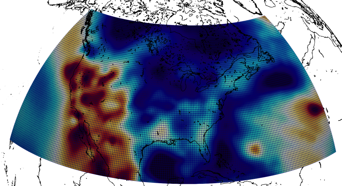
A small selection of regional extractions from the CSEM may be downloaded directly:
2. Email request
In case the part of the Earth that you are interested in is not in the list above, please send the Download request file (YML, 2 KB) to Andreas Fichtner or to any other member of the CSEM team (see above). The request file contains information about the geographic extent of your region of interest, the spatial gridding, and the physical model parameters (e.g., SV velocity, P velocity, ...).
A regional extraction of the CSEM will be provided in the form of a netCDF file that conforms with the models of the external page IRIS Earth Model Collection (EMC). The regional models may be easily visualised with the external page ParaView Plugins provided by the external page IRIS EMC, or actual values may be obtained with the help of the netCDF4 Python package.


